70 WARREN DR
Owner Information
DAESEN STEPHEN G
70 WARREN DR
WRENTHAM, MA 02093


Property Details
70 WARREN DR is classified as a Single Family Residential (Colonial).
The primary structure on this property was built in 1998. There are 4,302ft2 of built area within this property. There is 2,354ft2 of residential/living space within this property. This property is listed as having 8 rooms.
70 WARREN DR is valued at $507,000. The land is valued at $223,400 and the structures are valued at $283,600.
This property is in Zone 02. Confirm with local Zoning Board authorities to ensure there are no overlays or other easements on this property.
The most recent deed for 70 WARREN DR is recorded at the local registrar in Book 20734, Page 483. 70 WARREN DR was last sold on Wednesday, March 24, 2004 for $517,450.
Assessment data from fiscal year 2022.
Flood Data
According to the FEMA National Flood Hazard Layer, this property does not appear to be in a flood zone. It may also be in an area not yet reviewed. Nonetheless, confirm this information prior to taking any action.
To view the flood hazards around this property, create a FEMA "Firmette" Map of the area around 70 WARREN DR.
Broadband Internet Providers
| Provider | Type | Bandwidth (mbps) | |
|---|---|---|---|
| Verizon New England Inc. | Fiber | 940 | 880 |
| Comcast | Cable | 1000 | 35 |
| Verizon New England Inc. | DSL | 10 | 1 |
| VSAT Systems, LLC. | Satellite | 2 | 1 |
| HughesNet | Satellite | 25 | 3 |
| Viasat Inc | Satellite | 100 | 3 |
| GCI Communication Corp. | Satellite | 0 | 0 |
Broadband service provider data from December 2020.
Adjacent Properties
- 80 WARREN DR
Other Storage, Warehouse, and Distribution facilities (see also usecode 401) owned by BEAUMONT JENNIFER K TRUSTEE - 60 WARREN DR
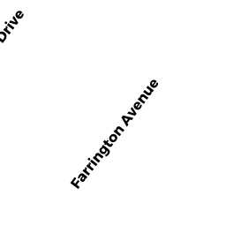
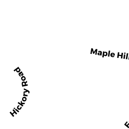
Single Family Residential owned by PETROZELLI MICHAEL L - 63 FARRINGTON AVE
Single Family Residential owned by DYMEK JAMES A - 71 FARRINGTON AVE
Single Family Residential owned by JAIN VIKAS